MOUNTAIN VIEW, Calif., July 29, 2025 — The overdependence of humans on technology throughout the world leaves no room for error in web applications. While tech giants are taking big strides by investing in quality checks as well as research and development, Google Maps is one of the companies facing challenges of a localized nature in several nations.
Google’s novel concept, such as offering users in Europe sustainable travel options, reflects the continuous value addition it is making. Besides, the global navigation app leader has regularly forayed into new geographies.
In January this year, it started mapping at least three new nations — Bosnia and Herzegovina, Namibia, and Liechtenstein.
Google Street View, a prominent feature in Google Maps, has also proved to be instrumental. First introduced in 2022, it is the first camera model that can be added onto any car, rather than being built into the vehicle.
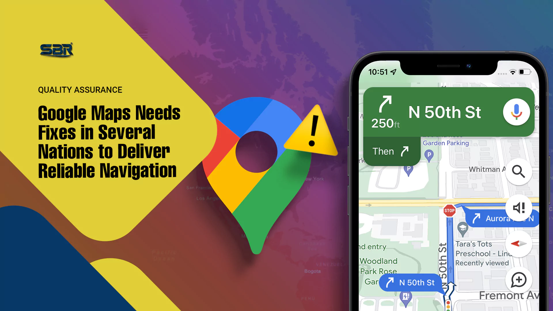
However, while on one side Google has all the reasons to boast of Artificial Intelligence (AI) enhancing its navigation app, countries such as South Korea and India remain an unsolved puzzle for it. There have been incidents in India of late that have seen Google Maps misdirecting drivers and causing road accidents.
In South Korea, Google Maps’ parent company Alphabet has locked horns with the government.
It is important to understand how Google Maps has repeatedly attributed its below-par South Korea service to not getting access to a government-built, high-resolution 1:5000 digital base map maintained by the National Geographic Information Institute (NGII).
Denied Map over National Security
In Seoul, one of the most digitally advanced cities in the world, Google Maps is unable to guide travellers to the nearest locations.
The issue has been blamed on national security for over two decades.
Stringent laws in South Korea have long barred the export of high-precision map data, supposedly to prevent misuse by hostile actors.
However, in 2025, the demand for ease of travel has risen to a point that questions are being raised about whether Google should be allowed to freely commercialize taxpayer-funded public data without meeting the standards that domestic companies must follow.
The coveted map is publicly funded, annually updated, and rich with layers like sidewalks, pedestrian crossings, and road boundaries. Any South Korean citizen or entity can access and use it for free.
As per Google, being kept away from exporting this data to its global servers has created a situation where it cannot fully enable core features like walking, biking, or driving navigation.
Access to Map Overhyped
The global map giant, with a huge reliance on processing map data through its global infrastructure, has time and again asked the South Korean government for permission to export the NGII base map.
However, experts say Google’s “we can’t do it without the map” argument is overstated.
“Yes, the 1:5,000 map would help, especially for pinpointing pedestrian pathways,” Kyung Hee University geographic information science professor Choi Jin-moo told Strait Times. “But Google could build the necessary layers on its own using its vast trove of satellite imagery and artificial intelligence processing, just like it does in countries that don’t share any base map data at all.”
There are many such navigation app companies that are operating without access to a government map. OpenStreetMap, a crowdsourced platform, offers walking navigation in South Korea. So does Apple Maps, despite not having access to NGII’s dataset or exporting any official Korean geospatial data.
False Alarm
 In May this year, German drivers who used Google Maps received a sudden alert, causing apprehensions of something fatal having occurred. The application showed all German autobahns as closed, asking drivers to avoid the high-speed roads and use exclusively smaller alternatives.
For commuters in Germany, it was the worst moment when Google Maps went wrong.
Millions of drivers were on the road, as Thursday marked the beginning of a four-day break for the Ascension holiday.
As expected, most of the travellers were using a navigation app to find the best route to their destinations, and Google Maps was one of the top picks.
Every highway in Germany was marked as closed, with screenshots shared on social media by local drivers showing Google Maps covered with signs indicating that the autobahns were not open.
The supposed road blockages, as indicated by Google Maps, triggered fear on social media, with some drivers believing the country was under attack or that Google Maps was hit by hackers.
The highway closure made Google Maps ask drivers for a detour by taking smaller roads, which caused massive traffic jams.
Non-Google Maps users did not face the problem. Apple Maps and Waze showed all highways as open, and quite evidently people who drove on the autobahns experienced a smooth drive.
No one has been able to ascertain the reasons why Google Maps displayed these incorrect warnings that caused complete commotion on roads.
Google said it became aware of the issue and fixed it. However, people accused Google Maps of incorrectly showing the autobahns closed for almost two hours.
Lack of access to the map is overstated. Google could build the necessary layers on its own using its vast trove of satellite imagery and AI processing.
Inputs from Saqib Malik
Editing by David Ryder


ft.webp)
FT.webp)


ft.webp)
FT.webp)
 ft...webp)
 sme.webp)